


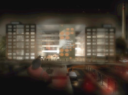

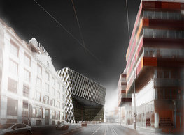

We like the views. We like the views of Prague. We like walks, and we like bike rides. We like long routes that you can get on and off anywhere. We like continuous parkland rather than small, isolated islands of green. We like wandering through places where our steps do not collide with cars. We do not like to conform to the motorists. We do not like having to climb and descend unnecessarily for the sake of the view(s). We do not like it when the terrain and transportation infrastructure build difficult barriers for us. The exceptional features of the left bank of the Vltava include its distinctive terrain morphology. Thanks to its steep, high, and hitherto green slopes, we can admire the cityscape in its very centre under the treetops. The sightseeing route following the contours of, for instance, Petřín Hill and Kinský Park is well known. But if we want to continue further upstream along the axis of the parks' green islands, we will soon encounter barriers. Both landscape and artificial barriers - especially the city's transport infrastructure. That is why we offer the idea of a connection. We imagine it materialised in setting out (marking, adjusting, equipment) such a route that will be welcomed by all who like hill walking around the green parts of Prague. We propose a path that does not necessarily try to be the shortest link. Essential criteria for its routing are moderate terrain elevation, environmental diversity, the most attractive views of the metropolis, and elimination of concurrence or even collision with car traffic. We connect Petřín, Sacre Coeur, Mrázovka, Paví vrch, Mravenčí vrch, and Děvín parks up to Hlubočepské skály above Prokopské údolí. We present a 14 km long route leading only through green and quiet residential areas. The place that represents a single partial intervention in the name of the "Bella Vista" route is the bridging of Plzeňská Street with a footbridge. A suspension footbridge in the plane above the existing road bridge between the entrances to the Strahov and Mrázovka Tunnels will connect the currently somewhat deserted Sacré Coeur Park with Mrázovka Hill, thus eliminating the need to cross the busy traffic routes of Plzeňská and Kartouzská. The selected form follows the footprint of the existing bridge over the valley. The Y-shaped footbridge allows connecting the Mrázovka slope to two points on the valley's northern side: the top of the Strahov Tunnel's portal and the Sacre Coeur Park. The subtle prism of the staircase and the lift eeling through the gap between the two road bridges allows wheelchair access from the level of Plzeňská Street and thus access to the route from the ground floor.
portfolio
![]()
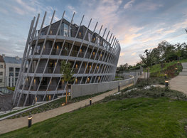
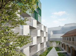
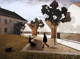
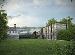
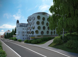
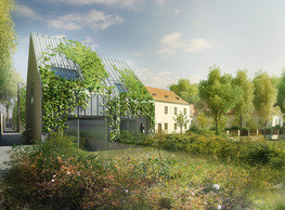
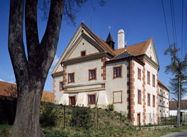
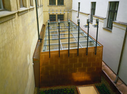
monastery of st. gabriel
![]()
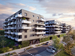
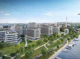
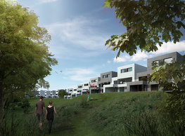
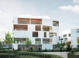
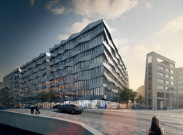
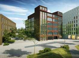
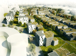
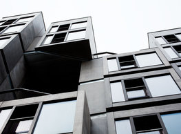
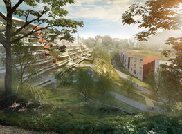
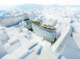
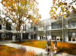
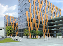
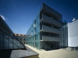
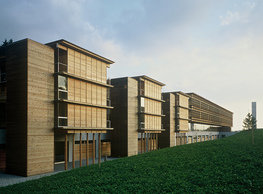
nová zbrojovka block g
![]()
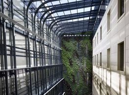
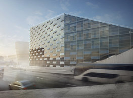
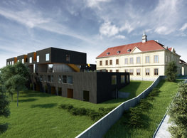
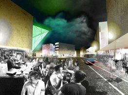
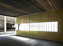
nad krocínkou a
![]()
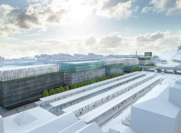
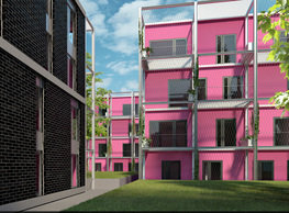
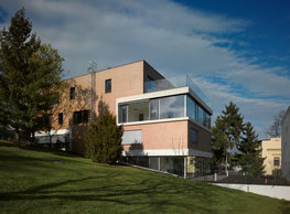
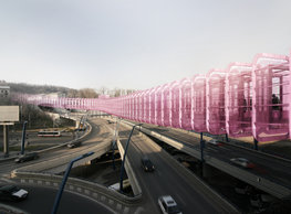
nad krocínkou b
![]()
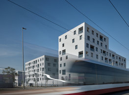
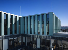
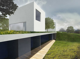
nymburk train station
![]()
stará boleslav primary school
![]()
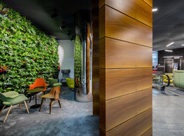
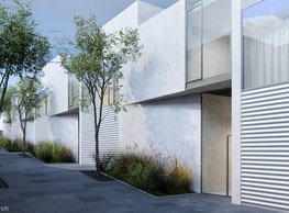
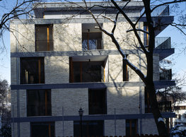
holečkova 26 residence
![]()
komořany elementary school
![]()
kindergarten jeseniova
![]()
dobřichovice farmstead
![]()
nová elektra residence
![]()
filadelfie bldg. – the new reception
![]()
písnice elementary school
![]()
bytové domy vítězná/újezd
![]()
afi vokovice
![]()
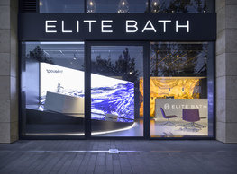
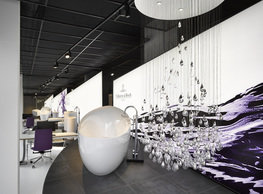
showroom elite bath/bulthaup sk
![]()
port 7
![]()
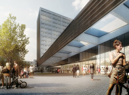
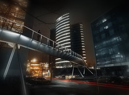
main point pankrác
![]()
oktáva houses
![]()
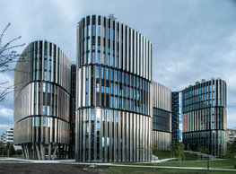
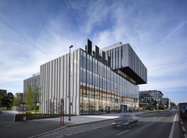
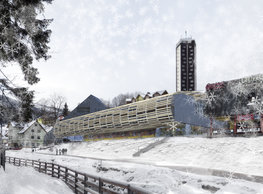
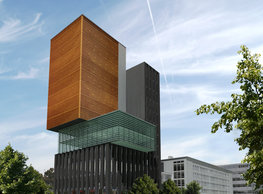
lesy čr headquarters
![]()
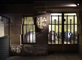
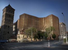
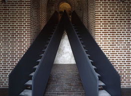
royal tomb
![]()
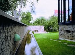
dob centre in dobřichovice
![]()
elite bath showroom karlín
![]()
pod hády brno
![]()
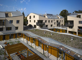
communal flats in dolní břežany
![]()
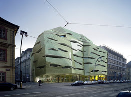
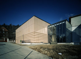
contemporary glass muzeum
![]()
the blox
![]()
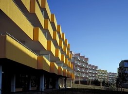
šantovka residence
![]()
open gate II
![]()
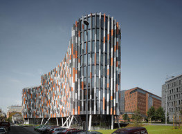
ružinov office building
![]()
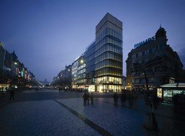
vinohradská 8
![]()
jindřišská 16
![]()
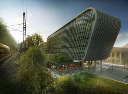
masarykovo railway station
![]()
retail and office development
![]()
regina hradec králové
![]()
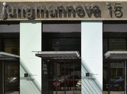
jungmannova 15
![]()
chateau dolní břežany
![]()
dlouhá palace
![]()
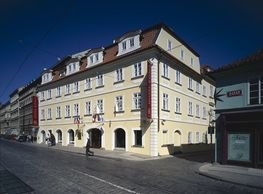
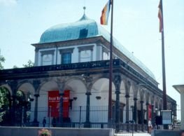
the metropole hotel in mariánské lázně (marienbad)
![]()
square mechanica
![]()
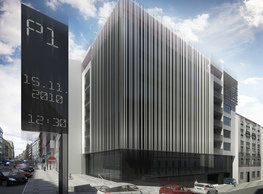
plzeňská 18
![]()
porto mercandini
![]()
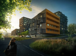
vrchlického residence
![]()
waltrovka
![]()
karlín railway
![]()
novomlýnská brána
![]()
main point karlin
![]()
sněžka apartment house
![]()
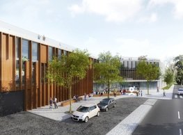
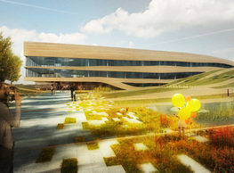
science research centre
![]()
jeremenkova residence
![]()
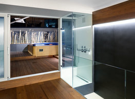
flat b3 prague
![]()
tenement house with a gym
![]()
štěpánská 47
![]()
footbridge in bb centre
![]()
botanica vidoule phase 6
![]()
hendlův dvůr
![]()
klamovka residential complex
![]()
perníkářka manor
![]()
švédská residence
![]()
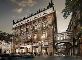
evropa hotel
![]()
bb centrum filadelfie
![]()
černá louka ostrava
![]()
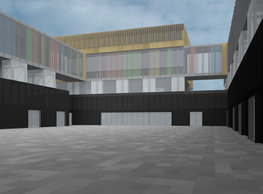
municipal interventions prague 2010
![]()
family houses in radotín
![]()
cherubín II
![]()
zlín cultural centre
![]()
ostrolovský újezd chateau
![]()
fc bohemians praha 1905
![]()
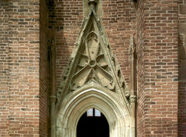
znojemská hospice
![]()
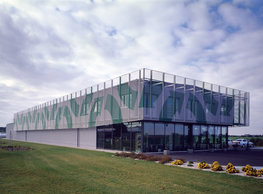
pilsner urquell
![]()
st. wenceslas exposition
![]()
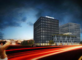
karlov office building
![]()
petynka hotel
![]()
institute of noblewomen
![]()
cherub I
![]()
pařížská 9
![]()
sanopz residential complex
![]()
jinonice villa park
![]()
viktoria center pankrác
![]()
hotel crystal palace
![]()
invalidovna offices
![]()
performing arts center seoul
![]()
toner recycling company building
![]()
boscolo carlo IV hotel
![]()
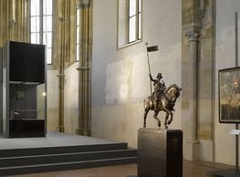
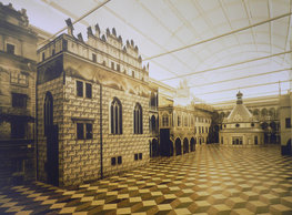
the story of prague castle
![]()
umprum in prague-ďáblice
![]()
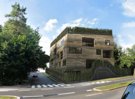
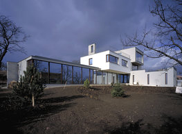
mrázovka apartment villa
![]()
school gym in prague-troja
![]()
roma hotel
![]()
euro palace
![]()
ten centuries of architecture
![]()
villa třešňovka
![]()
velká skála
![]()
sternberg palace prague castle
![]()
st. nicholas church in čečovice
![]()
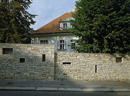
olga and václav havel's villa
![]()
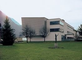
tierpark langenberg
![]()
a church in neratovice
![]()
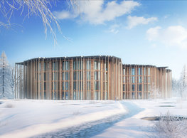
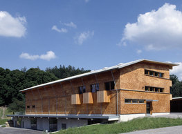
school centre interlaken
![]()
forestry school in lyss
![]()
villa dobeška
![]()
tuscany in maps